AARP Hearing Center

Nothing beats the power of being able to see into the future. Since that's not possible — at least not yet! — an effective way to show the potential of a street is to create a "photovision."
We start with a "before" image of a place that needs improvements to make it more walkable, bike friendly and livable. From there, we develop a vision for how the location could look.
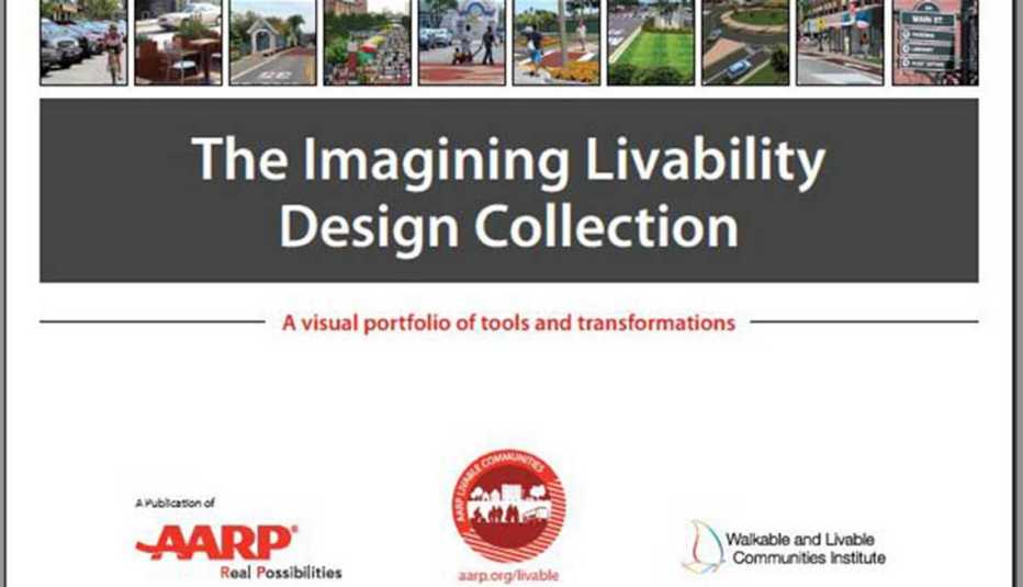
The Imagining Livability Design Collection describes some of the most common tools and treatments for creating age-friendly environments. The transformation photovisions help community members and local leaders imagine what's possible, develop a shared vision for the future and act upon that vision.
The Tools
- Short-Range Projects include Bicycle Lanes, Chicanes, Crossing Islands, Curb Extensions, Directions (or "Wayfinding"), Head-Out Diagonal Parking, Lane Narrowing, Parklets and Pocket Parks, Pedestrian-Scaled Lighting, Rain Gardens, Safety Buffers, Sharrows and Street Trees
- Mid-Range Projects: Roundabouts, Road Diets, Shared-Use Paths and Sheltered Bus Stops
- Long-Range Projects: Liner Buildings and Mixed-Use Development
- Planning & Policies: Complete Streets Policies, Form-Based Codes, Health Impact Assessments, and Placemaking
Transformations
- Rural and Local Roads: Getting People Across a Bridge (Underhill Flats, Vermont); Honoring the Past, "Placemaking" for the Future (Clarksdale, Mississippi); A Better Intersection for Beachgoers (Kailua, Hawaii); Traffic Calming a Mixed-Use Street (Burlington, Vermont)
- Small-Town Main Streets: Inspiring Redevelopment (Kingston, Tennessee); Making Downtown a Destination (Avondale Estates, Georgia); Revitalizing Main Street (Batesville, Arkansas)
- Suburban Streets and Commercial Strips: Improving Community Access (Winter Garden, Florida); Connecting a Neighborhood and its Surroundings (Forth Worth, Texas); Putting Crosswalks Where People Need Them (Detroit, Michigan); Making Parking More Productive (Tupelo, Mississippi); Repairing a Deadly Street (Atlantic City, New Jersey); Celebrating an Arts Heritage (Exmore, Virginia)
- Urban Streets and Downtowns: Improving a Complex Intersection (Dallas, Texas); Redesigning a Downtown Street (Augusta, Georgia); Making a Riverwalk Approach More Walkable (New Orleans, Louisiana)
- Back Streets and Underused Spaces: Creating a Festival Street (Birmingham, Alabama); Bringing an Alley to Life (Brownsville, Texas); Connecting the Community to a Key Asset (York, Pennsylvania); Creating a Trail for Recreation and Evacuation (Orange Beach, California)
Editor's Note: The Imagining Livability Design Collection was published in Spring 2015 by AARP Livable Communities and the WALC (Walkable and Livable Communities) Institute. The report was written by Kelly Morphy and Robert Ping (WALC) and project managed and edited by Jeanne Anthony and Melissa Stanton (AARP). The WALC Institute has since closed shop, but the 40-page publication it helped develop remains a valuable resource for communities and local leaders.


